
Live from the platform, right now
1,215
Crops in the registry
17
Active marketplace listings
5
Open procurement requests
Counted fresh on every page load, straight from each service's own public endpoint - no caching, no data warehouse. See the Knowledge Platform or Marketplace to see the data behind these numbers.
Nexafarm Identity
Authentication and organizations - RS256/JWKS-backed JWTs, TOTP MFA, and a self-service auth audit log.
Nexafarm Farm
Farms, fields, and GIS boundaries, plus live weather off your farm's own location and IoT sensor readings. Sign in to manage yours.
Nexafarm Market
Marketplace listings and buy-side procurement requests - both browsable and searchable without an account.
Nexafarm Finance
Payments, lending, and insurance - self-reported record ledgers, honestly scoped: none of them move real money.
Nexafarm Logistics
Warehouses, inventory, export shipment tracking, and the "who can supply what I want" supplier-chain search.
Nexafarm Intelligence
A crop, livestock, weed, tree, and flower knowledge registry with real Postgres full-text search and symptom-based lookup.
Nexafarm Farm Manager
Day-to-day livestock batch tracking - feeding, produce collection, health records, expenses, and income - on its own free subdomain, linked to your Nexafarm account.
Nexafarm Maps
GIS field boundaries are live in Farm Management. Satellite and drone integration aren't built - flagged, not faked.
Nexafarm Developer
Every service publishes its own OpenAPI docs (/swagger-ui.html). A unified public developer portal doesn't exist yet.
Knowledge Platform
From the crop registry
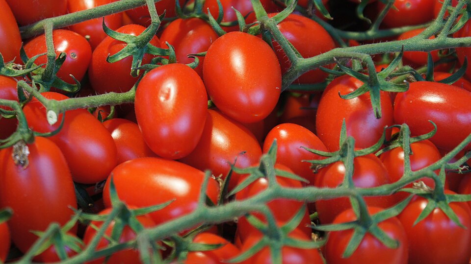
Tomato
Solanum lycopersicum
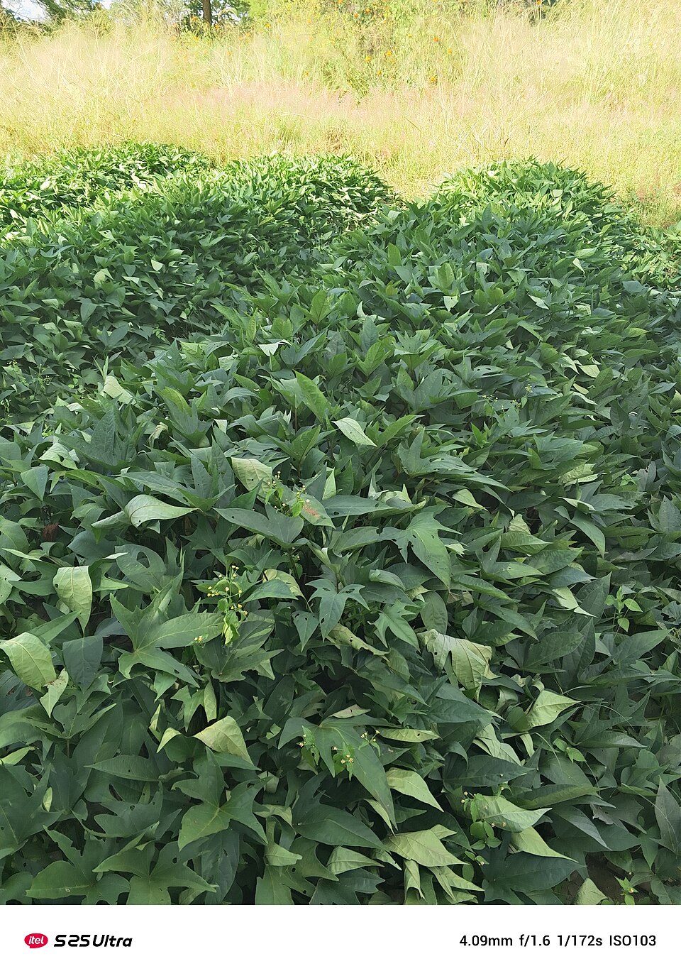
Sweet potato
Ipomoea batatas
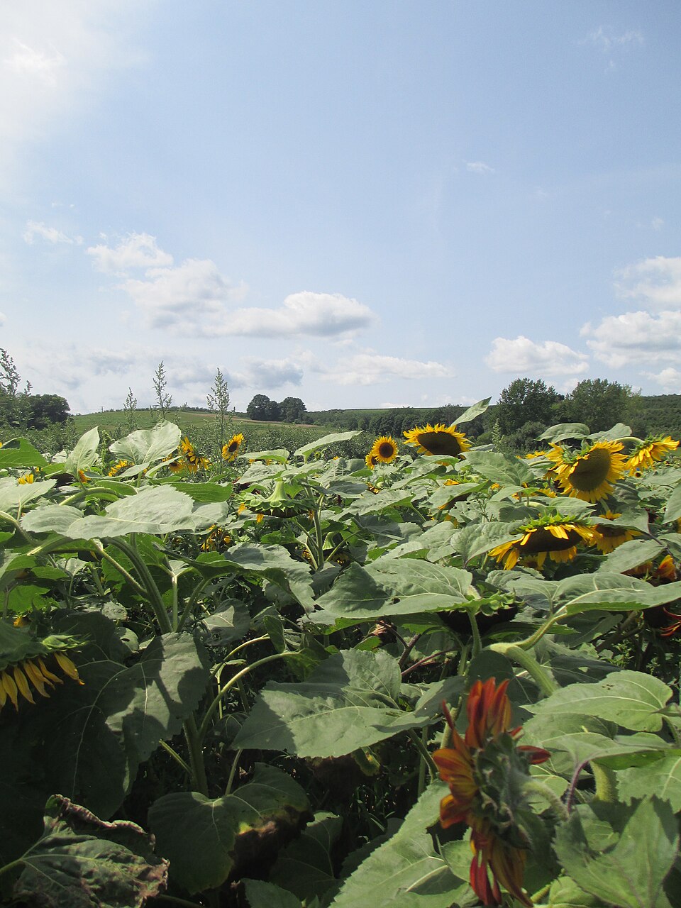
Sunflower
Helianthus annuus
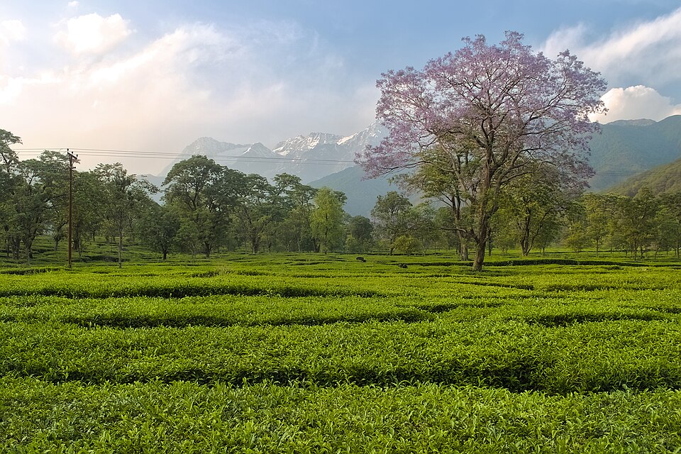
Tea
Camellia sinensis
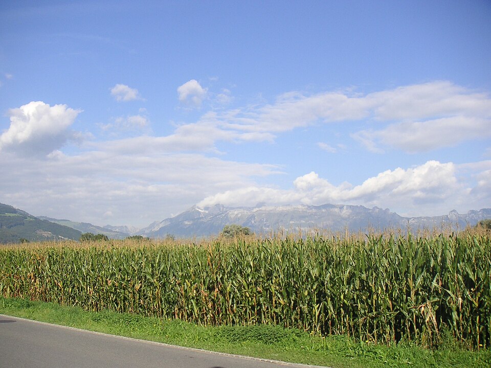
Maize
Zea mays
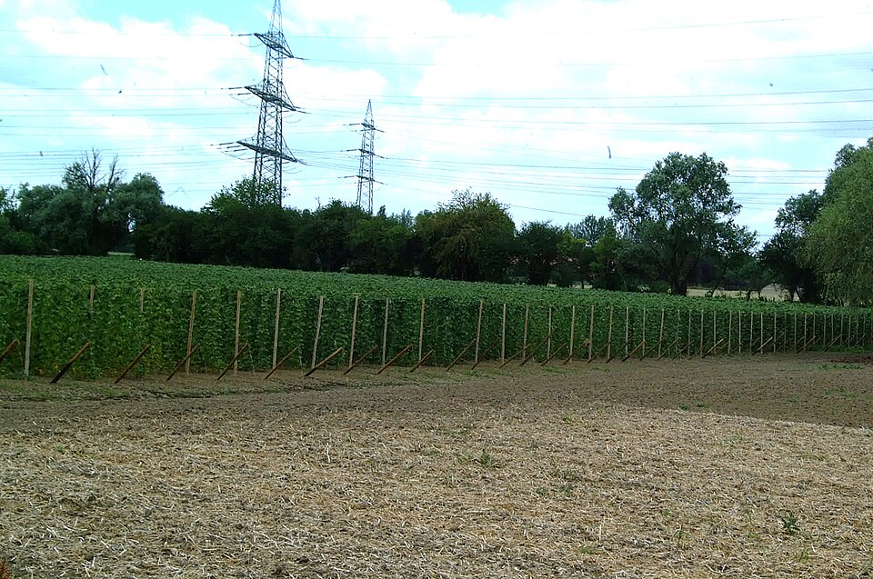
Common bean
Phaseolus vulgaris
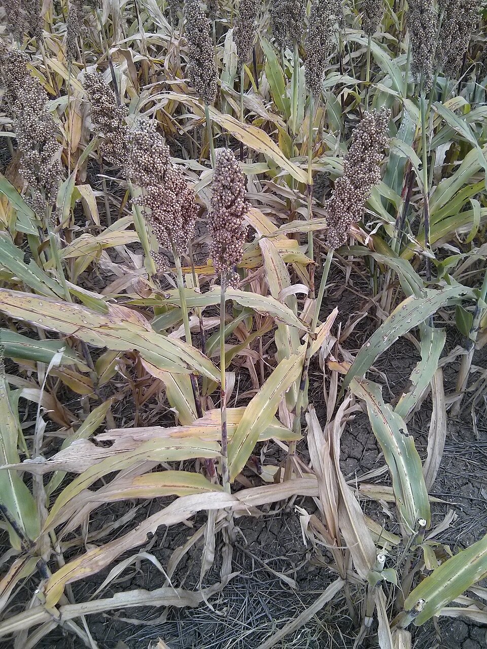
Sorghum
Sorghum bicolor
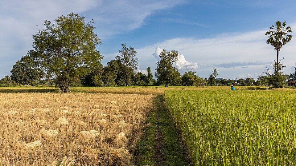
Rice
Oryza sativa
Knowledge Platform
Livestock on the platform

Dairy Cattle
Bos taurus

Layer Chicken
Gallus gallus domesticus

Nile Tilapia
Oreochromis niloticus

Dairy Goat
Capra aegagrus hircus

Sheep
Ovis aries

Pig
Sus scrofa domesticus

Honey Bee
Apis mellifera

Camel
Camelus dromedarius
How it works
One platform, four things you actually do
Register your organization
Sign up as a farmer, buyer, supplier, or processor. RS256/JWKS-backed accounts with TOTP MFA and a self-service auth audit log.
Browse or list
Search the crop and livestock knowledge base, browse the marketplace, or post a listing or procurement request - no account needed just to look.
Find who can supply what you need
Supply Intelligence traces commercial chains between suppliers - not just a directory, but who's actually connected to whom.
Manage your farm
Track farms and fields with GIS boundaries, pull live weather for your own location, and log IoT sensor readings.
Built transparently, on purpose
Every self-reported ledger on this platform - Payments, Insurance, Finance, Carbon Credits, Export tracking - says so plainly on its own page: none of them move real money, verify a real insurer or lender, or connect to a real carbon registry. Where a feature genuinely isn't built yet - satellite imagery, drone integration, government system integrations - that's stated directly instead of stubbed out to look finished.
Get started
Bring your farm, your listings, or your supply chain onto the platform
Free to register. Browsing the knowledge base and marketplace never requires an account.